
The Local Risk Landscape
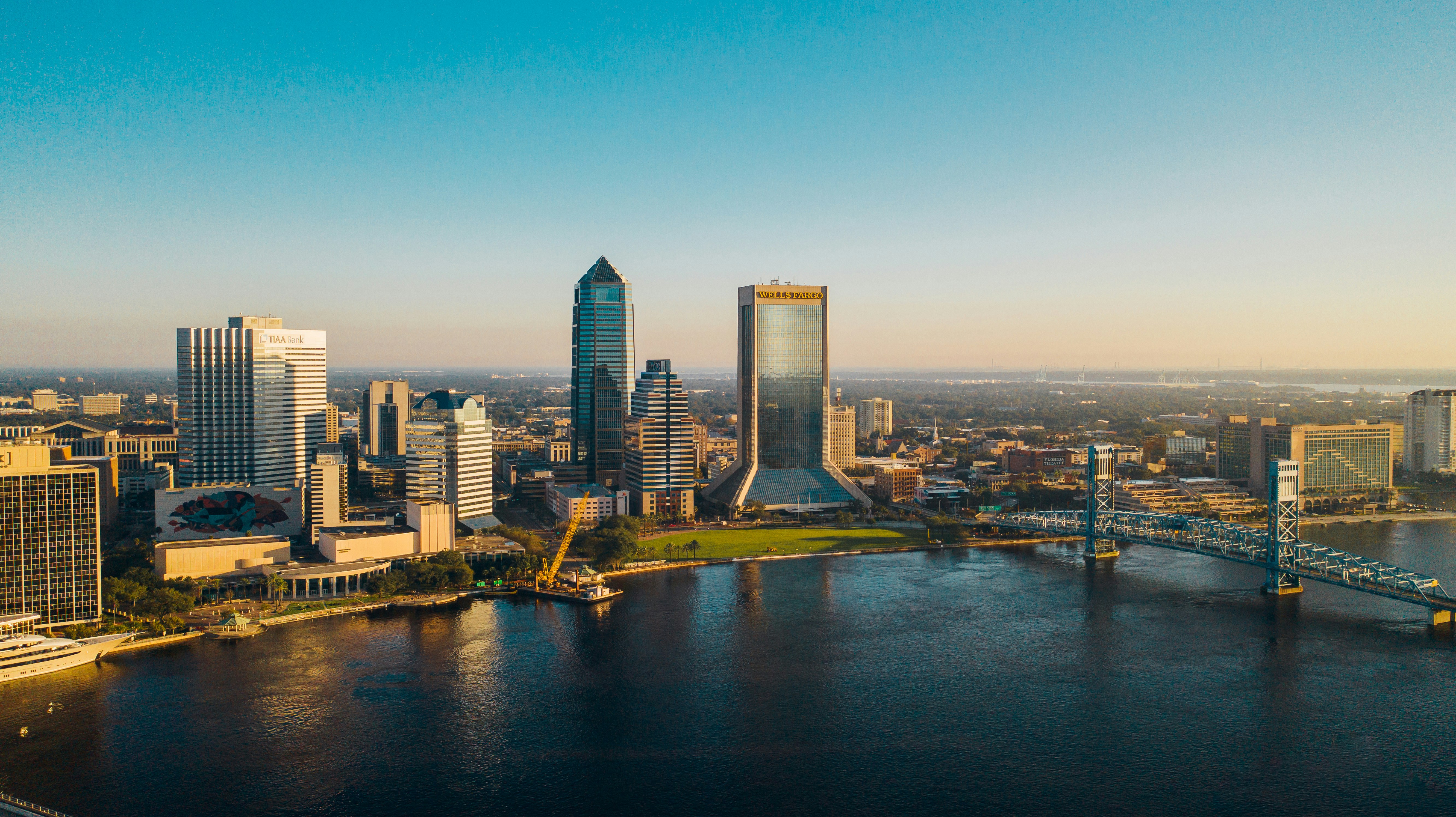
Jacksonville's defining geographic feature is the St. Johns River, which runs directly through the city rather than skirting its edge. That's created a flood risk mechanism most Florida cities don't deal with in the same way: river flooding, separate from coastal storm surge. Hurricane Irma pushed river levels high enough in 2017 to flood neighborhoods like Riverside, Avondale, San Marco, and parts of downtown - areas nowhere near the ocean.
At the same time, Jacksonville's beach communities - Jacksonville Beach, Atlantic Beach, Neptune Beach, and Ponte Vedra Beach - face direct Atlantic exposure: coastal storm surge, wind, and erosion risk that inland Jacksonville neighborhoods simply don't share, even though they're part of the same metro area and the same insurance conversation people often have as if it were uniform.
Jacksonville is also the largest city by land area in the continental United States, which means it spans wildly different risk zones within a single city limit. A home in oceanfront Ponte Vedra Beach and a home in inland Mandarin or the Southside are having two completely different insurance conversations, even though both are technically "Jacksonville."
Naval Station Mayport and NAS Jacksonville bring a substantial military population with the same deployment and PCS-related insurance considerations found near any major base. And with JAXPORT - one of the largest ports on the East Coast - plus I-95 and I-10 converging in the city, Jacksonville is a genuine logistics, trucking, and vehicle-import hub that shapes both commercial exposure and the volume of freight traffic on local roads.
Property & Flood Coverage Breakdown
The most important distinction for Jacksonville homeowners is which kind of flood risk actually applies to their address. River-adjacent neighborhoods along the St. Johns - San Marco, Riverside, Avondale, Ortega - face flood exposure tied to heavy rain and river levels, which can rise during any major rain event, not only a direct hurricane strike. Beach communities face a different mechanism entirely: coastal storm surge and wave action tied specifically to a storm's track and intensity.
Properties in Jacksonville Beach, Atlantic Beach, Neptune Beach, and Ponte Vedra Beach also carry coastal construction considerations - wind mitigation and, depending on proximity to the water, wind-borne debris region requirements for new construction or major renovation - that inland Jacksonville homes don't need to think about.
Historic homes carry their own considerations here too: Springfield's Victorian-era district and the early-20th-century homes throughout Riverside and Avondale come with the classic older-roof, older-electrical underwriting questions that any historic Florida neighborhood raises.
Given how much risk diversity exists within one city, this is exactly where an independent agency earns its keep: placing a river-adjacent historic home, an oceanfront beach cottage, and an inland suburban home each with a carrier suited to that specific exposure, rather than treating all three the same because they share a zip code prefix.
Auto & Commercial Protection
I-95 and I-10 converge in Jacksonville, and the city's several St. Johns River crossings - the Buckman, Dames Point, Fuller Warren, and Mathews bridges - concentrate commuter traffic at predictable pinch points. Bridge-adjacent congestion and accident patterns are a distinct feature of driving here compared to other Florida metros, and it's worth evaluating liability limits above Florida's state minimums accordingly.
On the commercial side, JAXPORT's shipping and vehicle-import operations, combined with the I-95/I-10 trucking corridor, create substantial commercial auto and logistics-related liability exposure for businesses operating in or near the port. Downtown and beach-community small businesses - retail, restaurants, and professional offices - need coverage built around their specific setting rather than a generic commercial policy that doesn't account for where they actually sit.